About Sanga
Discover the culture, geography, and economy of Sanga Local Government Area.
General Information
Leadership
- Executive Chairman: Hon. Anto Usman
- Vice Chairman: Deputy Chairman
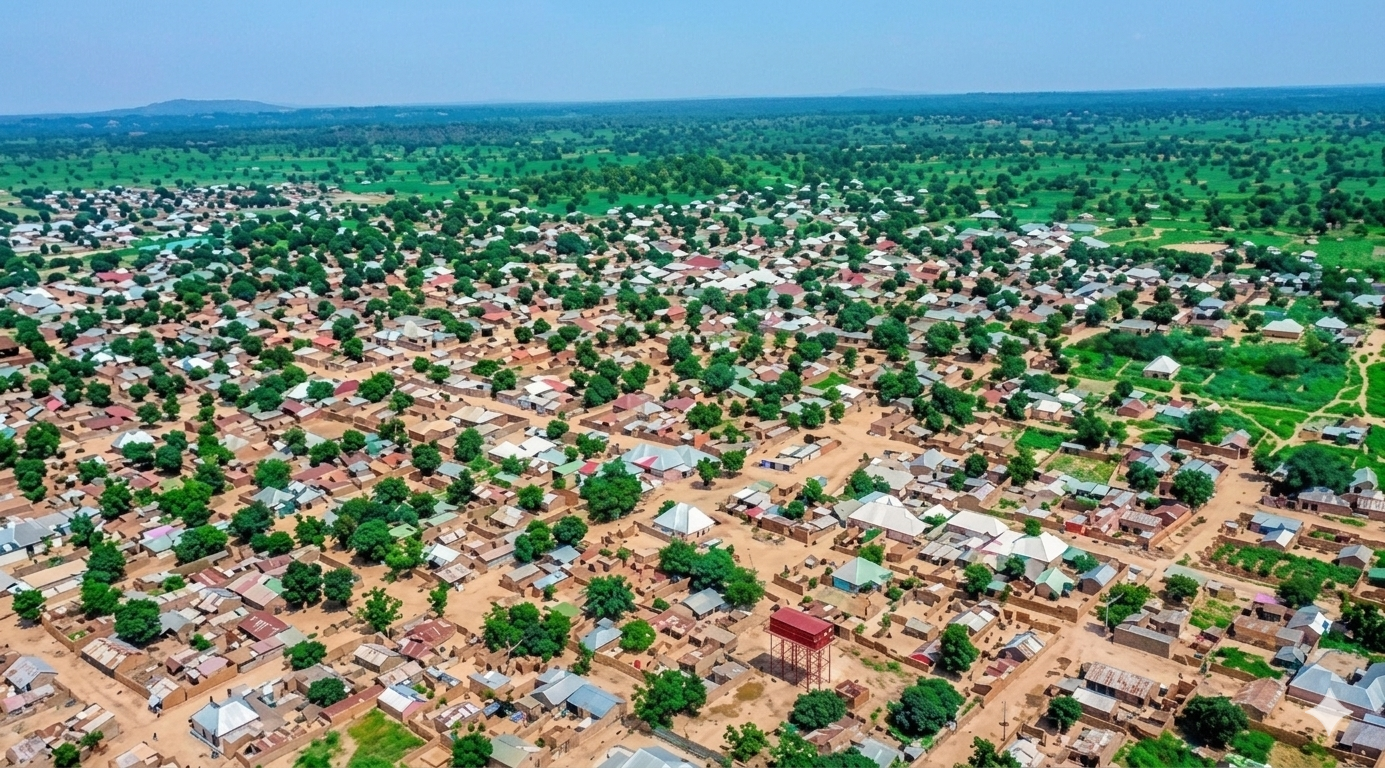
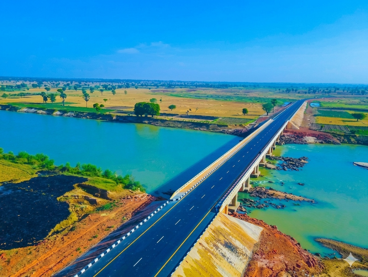
Location & Geography
- Location: Southern Kaduna State, Nigeria
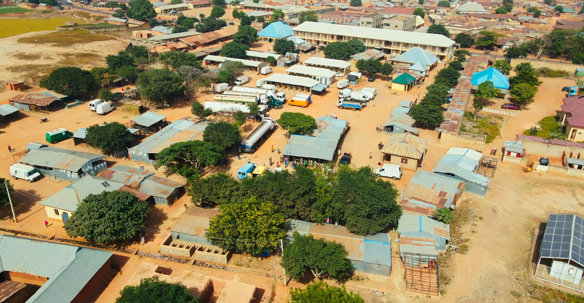
- Headquarters: Gbantu (Gwantu)
- Area: 1,821 km²
- Neighboring LGAs: Jema'a LGA to the west; Barkin Ladi, Bokkos, and Riyom LGAs of Plateau State to the east; Akwanga, Karu, Kokona, and Wamba LGAs of Nasarawa State to the south.
Demographics
- Population: 151,485 (2006 Census)
- Major Ethnic Groups: Ninzam, Numana, Mada, Ayu, Hausa, Fulani
- Languages Spoken: Ninzo, Numana, Mada, Hausa, and English
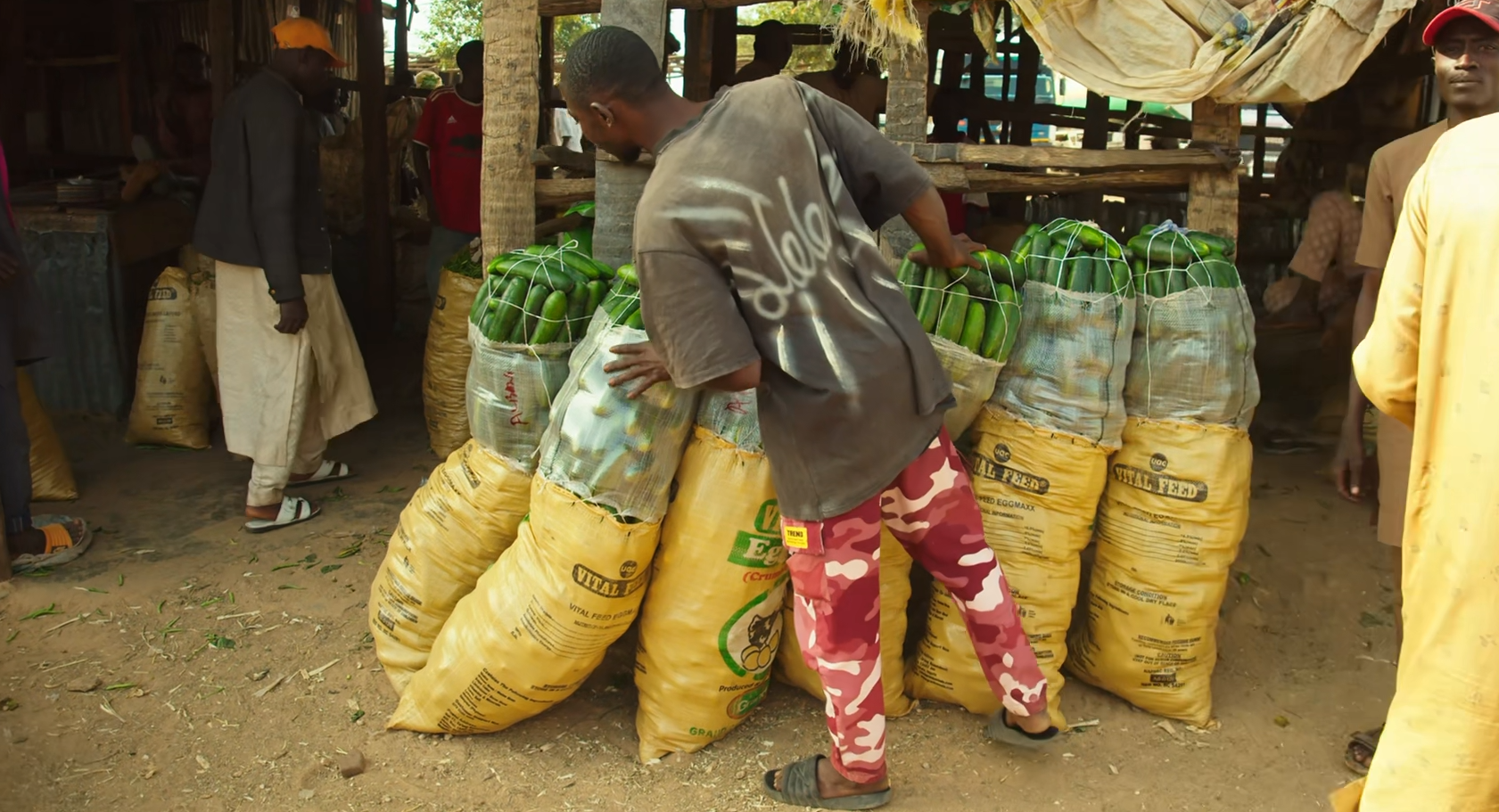
Economy & Climate
- Main Economic Activities: Farming, livestock rearing, small-scale trading, blacksmithing, pottery, and craftsmanship
- Climate: Tropical savannah climate with average temperature of 32°C
Geography & Economy
Location
Sanga lies within the southern Kaduna region, characterized by fertile land and a mix of plains and hilly terrain. The area is suitable for a variety of crops.
Climate
The area experiences a tropical savanna climate with a rainy season between May and October and a dry season from November to April.
Main Economic Activities
- Crop Farming: Maize, yams, cassava, millet, sugarcane, onions, and rice.
- Livestock Rearing: Cattle, goats, sheep, and rams.
- Local Markets: Gwantu market serves as a center for trade in agricultural produce and other goods.
- Artisan Crafts: Blacksmithing, pottery, and craftsmanship.